

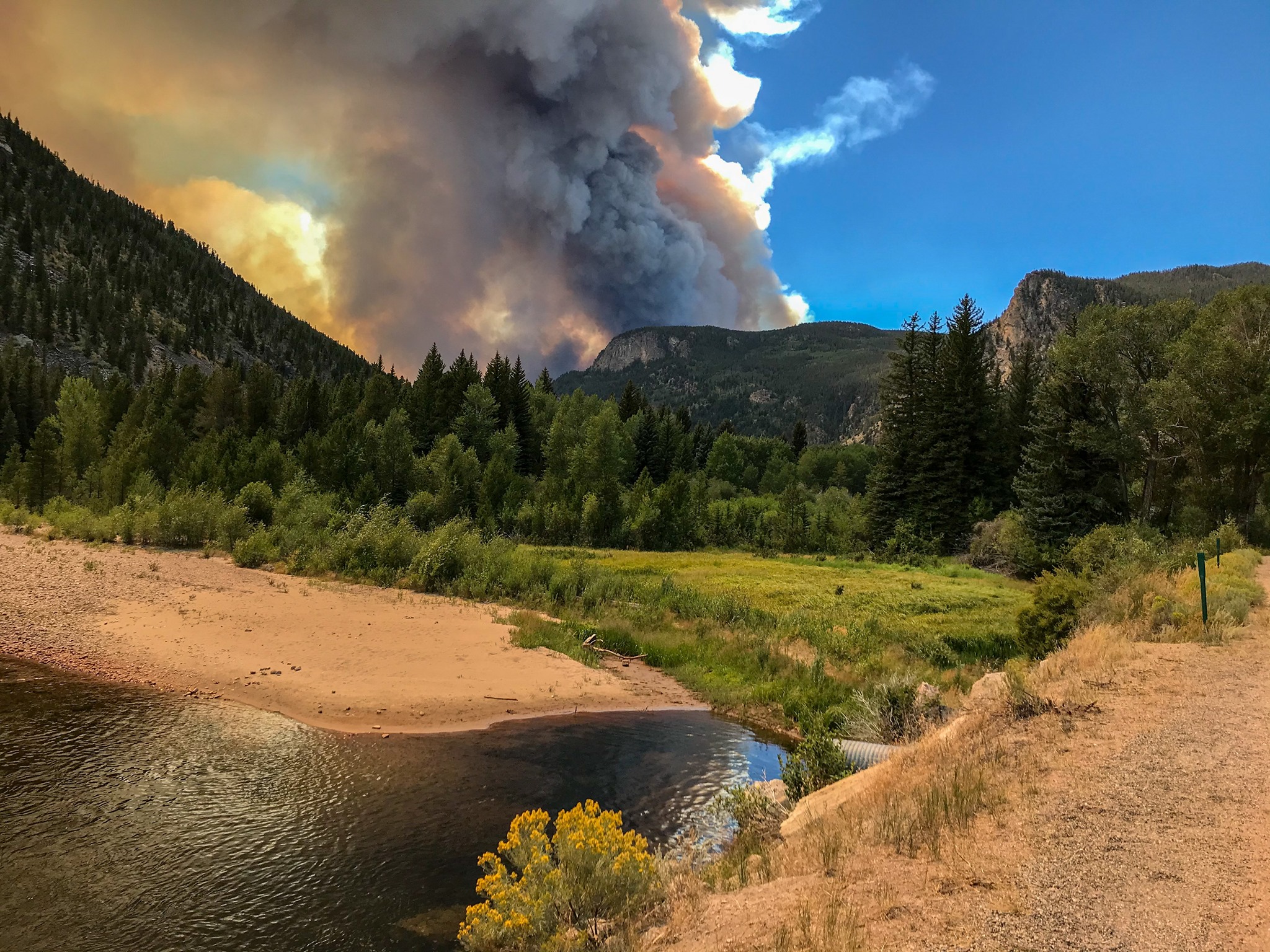
Many teams consisting of natural resource specialists have completed their initial assessment of burned areas on the Arapaho and Roosevelt National Forests for the Cameron Peak, Williams Fork, East Troublesome, Cal-Wood, and Lefthand fires.
The rapid assessments are part of the “Burned Area Emergency Response” (BAER) program and represent a small part of the greater collaborative post-wildfire recovery efforts currently underway with a coalition of local, state, and federal agencies, scientists, and natural resource managers. The fires have collectively burned over 323,000 acres of National Forest lands this year.
BAER is an initial step focused on National Forest lands and values at risk in the immediate aftermath.
“There’s a great deal of interest in the BAER effort initially because it’s our first real look at what took place out there during the fire,” said Forest Supervisor Monte Williams. “But, BAER is only one piece of the puzzle,” Monte said.
Extensive research since the Hayman and High Park fires has provided land managers with a greater understanding of what immediate post-fire treatments are most effective at reducing post-wildfire impacts to watersheds. Pulling undersized culverts and digging water bars on trails effectively reduces sedimentation, runoff, and flooding.
One of the most valuable tools BAER assessments produce is soil burn severity maps, which cover entire fire perimeters and serve as a cross-jurisdiction reference tool. The maps provide valuable data as recovery teams model potential effects and decide where to focus efforts and funding.
The team’s assessment efforts were hindered by snow and hazardous conditions requiring teams to return to certain areas in the spring for further assessment.
“We have to consider where we get the most bang for the buck,” Monte said. “In the longer term, my hope is that these collaborative groups will work together beyond post-fire recovery to help prepare our landscapes to be more resilient to future wildfires,” said Monte.
For more information regarding summaries of the BAER findings, including soil burn severity maps, visit inciweb.nwcg.gov.