

![]() The Larimer county website has added a list of wildfire maps, available to the public at this web address: larimer.org/emergency/fires/maps.
The Larimer county website has added a list of wildfire maps, available to the public at this web address: larimer.org/emergency/fires/maps.
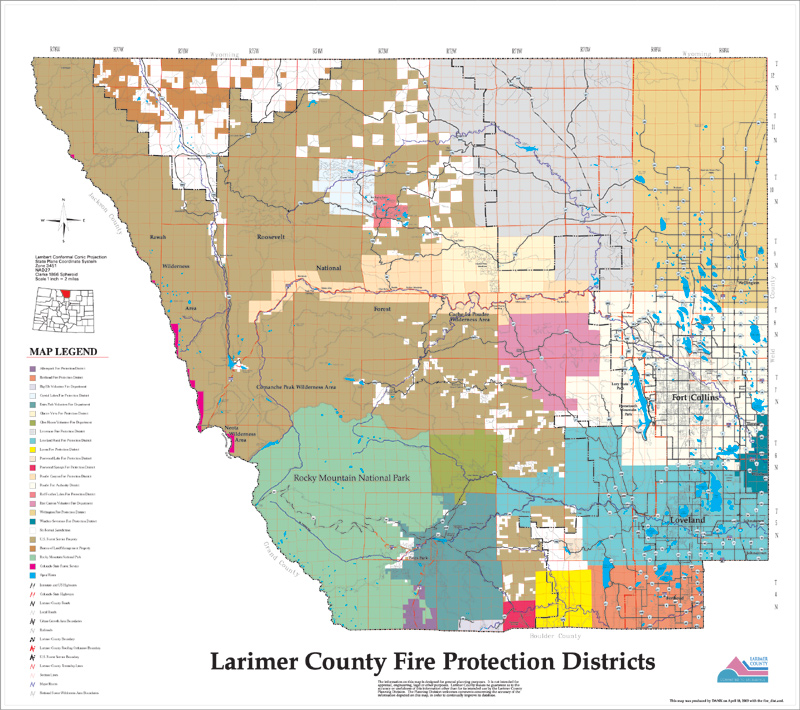
Anyone who sees or smells smoke, wants to check on the risks to their mountain property or is interested in the plans Larimer County has in place for fire mitigation may visit this site for viewing and downloading the maps.
The five categories include: Fire Protection Districts, Wildfire Hazard areas, Wildfire Mitigation areas, Fire Plan Strategy and Land Status (identifies ownership of lands within Larimer County).
Maps may be viewed and downloaded in two sizes.
The site also lists current fire restrictions (or not).
Prior to this service, the only option for those who wanted information on a suspected wildfire was to call 911. This site will assist the Larimer County fire departments in keeping the public informed of conditions and eliminate the need to tie up phone lines.