

by Blaine Howerton | North Forty News
Get your snowplows, shovels, boots, and snow gear ready.
The National Weather Service (NWS) has issued a Winter Storm Watch effective February 9, at 5 pm MST. It expires on Sunday, February 11, at 5 am.
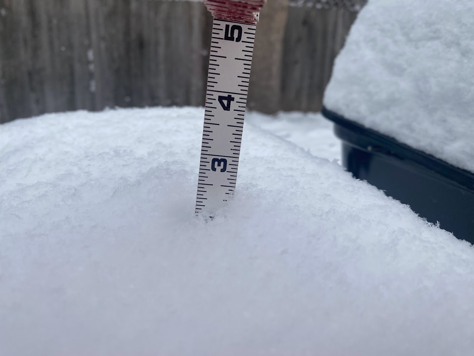
Three to Six Inches of heavy snow is expected in portions of central, northcentral, and northeast Colorado. Some areas could receive up to 10 inches. This includes the Front Range and Foothills in Northern Colorado.
Plan for slippery roads and snow up to ten inches Friday night and Saturday.
The extended forecast calls for slightly warmer weather next week. Highs are expected to be in the mid-40s.
As of Friday afternoon, there have been no reported school closures.
Eldora ski resort, near Boulder, reports a 24-inch base at mid-mountain. All of its lifts are open. For more Colorado resort ski conditions visit coloradoski.com/snow-report.
For the latest road conditions visit the Colorado Department of Transportation website at maps.cotrip.org.
Winter Storm Watch
URGENT - WINTER WEATHER MESSAGE
National Weather Service Denver CO
319 AM MST Fri Feb 9 2024

COZ035-036-038>043-045-100000-
/O.CON.KBOU.WS.A.0008.240210T0000Z-240211T1200Z/
Larimer and Boulder Counties Between 6000 and 9000 Feet-Jefferson
and West Douglas Counties Above 6000 Feet/Gilpin/Clear
Creek/Northeast Park Counties Below 9000 Feet-Larimer County
Below 6000 Feet/Northwest Weld County-Boulder And Jefferson
Counties Below 6000 Feet/West Broomfield County-North Douglas
County Below 6000 Feet/Denver/West Adams and Arapahoe
Counties/East Broomfield County-Elbert/Central and East Douglas
Counties Above 6000 Feet-Northeast Weld County-Central and South
Weld County-Central and East Adams and Arapahoe Counties-
Including the cities of Roggen, Deer Trail, Longmont, Georgetown,
Glendevey, Kiowa, Bailey, Central City, Loveland, Aurora, Denver
International Airport, Bennett, Nederland, Boulder, Fondis, Estes
Park, Nunn, Grover, Lakewood, Leader, Briggsdale, Red Feather
Lakes, Brighton, Arvada, Golden, Fort Collins, Eaton, Raymer,
Evergreen, Larkspur, City of Denver, Parker, Greeley, Littleton,
Fort Lupton, Highlands Ranch, Byers, Hereford, Stoneham, Castle
Rock, Pawnee Buttes, Idaho Springs, Westcreek, and Elbert
319 AM MST Fri Feb 9 2024

...WINTER STORM WATCH REMAINS IN EFFECT FROM THIS AFTERNOON THROUGH
LATE SATURDAY NIGHT...

* WHAT...Heavy snow possible. Total snow accumulations between 3 and
  6 inches possible with localized areas up to 10 inches. This
  includes the Front Range Foothills, Palmer Divide, Urban Corridor
  and adjacent plains.

* WHERE...Portions of central, north central, and northeast Colorado.

* WHEN...From this afternoon through late Saturday night.

* IMPACTS...Plan on slippery road conditions.

PRECAUTIONARY/PREPAREDNESS ACTIONS...

Monitor the latest forecasts for updates on this situation.

&&

$$

For more information from the National Weather Service, visit
https://weather.gov/bou

AD