

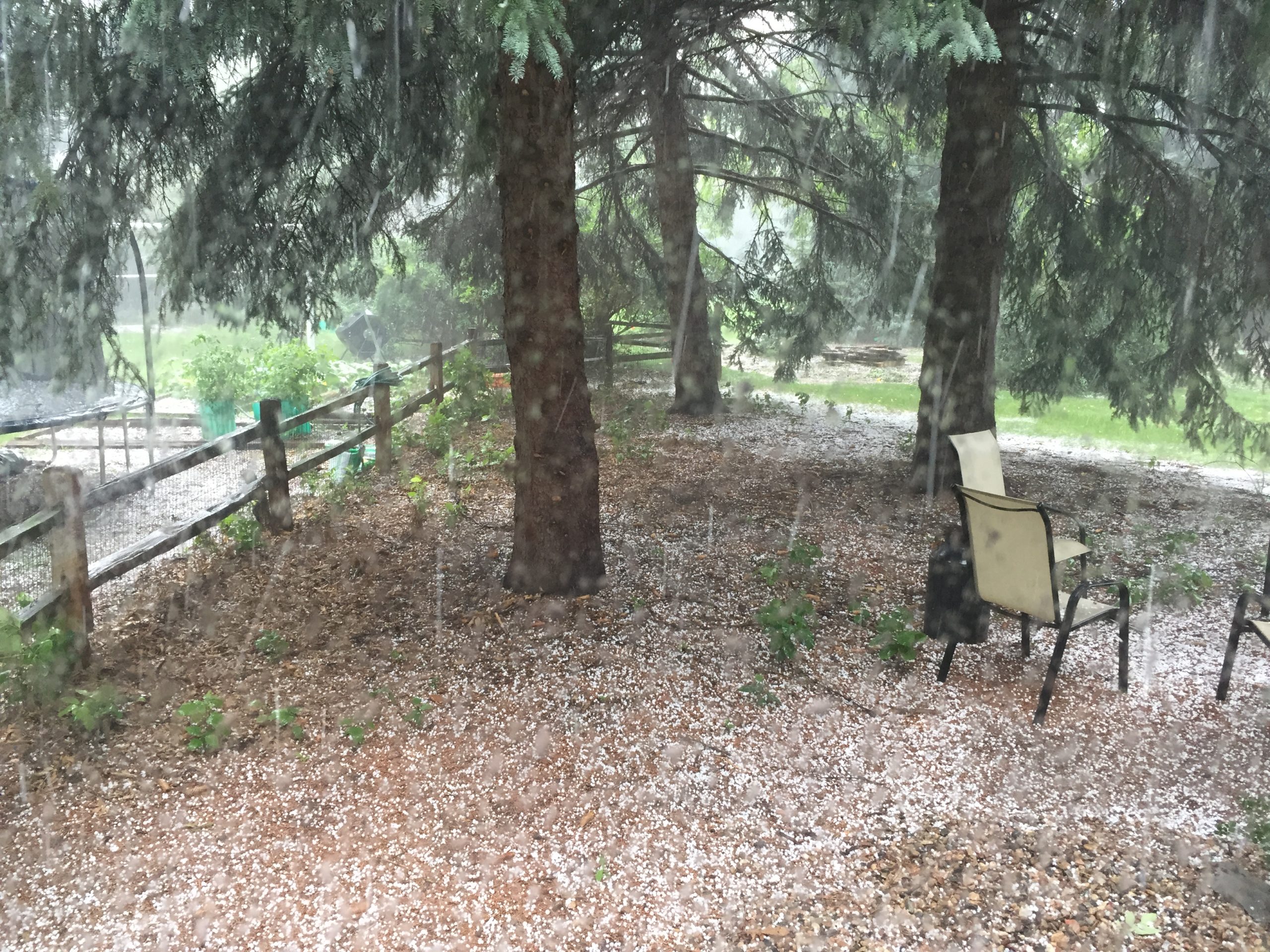
Almost an inch of rain fell this afternoon in Fort Collins during a severe thunderstorm, resulting in a flash flood warning.
Damage to the area is uncertain, as the rain continues to fall. Landscaping damage to plants and potential basement flooding is a likely possibility due to backed up gutters from the hail and fallen leaves.
From the National Weather Service:
The National Weather Service in Denver Colorado has issued a

* Flash Flood Warning for...
  east central Larimer County in north central Colorado...

* until 430 PM MDT

* at 230 PM MDT, Doppler radar indicated thunderstorms producing
  heavy rain 4 miles west of Mishawaka. The rain is moving southeast
  at 25 mph. Flash flooding is expected to begin shortly.

* Some locations that will experience flooding include...
  Poudre Park, BUckhorn Mountain and Mishawaka.

Precautionary/preparedness actions...

Heavy rainfall will cause flash flooding of creeks, streams, roads
and culverts in the High Park burn area. Some areas affected include
Rist Canyon, BUckhorn Creek, Redstone canyon, stove prairie, and
gulches draining into the poudre canyon along Highway 14. Rock slides
or debris flows can also be expected across roads in the burn area.

Flooding is occurring or is imminent. It is important to know where
you are relative to streams, rivers, or creeks which can become
killers in heavy rains. Campers and hikers should avoid streams or
creeks.