

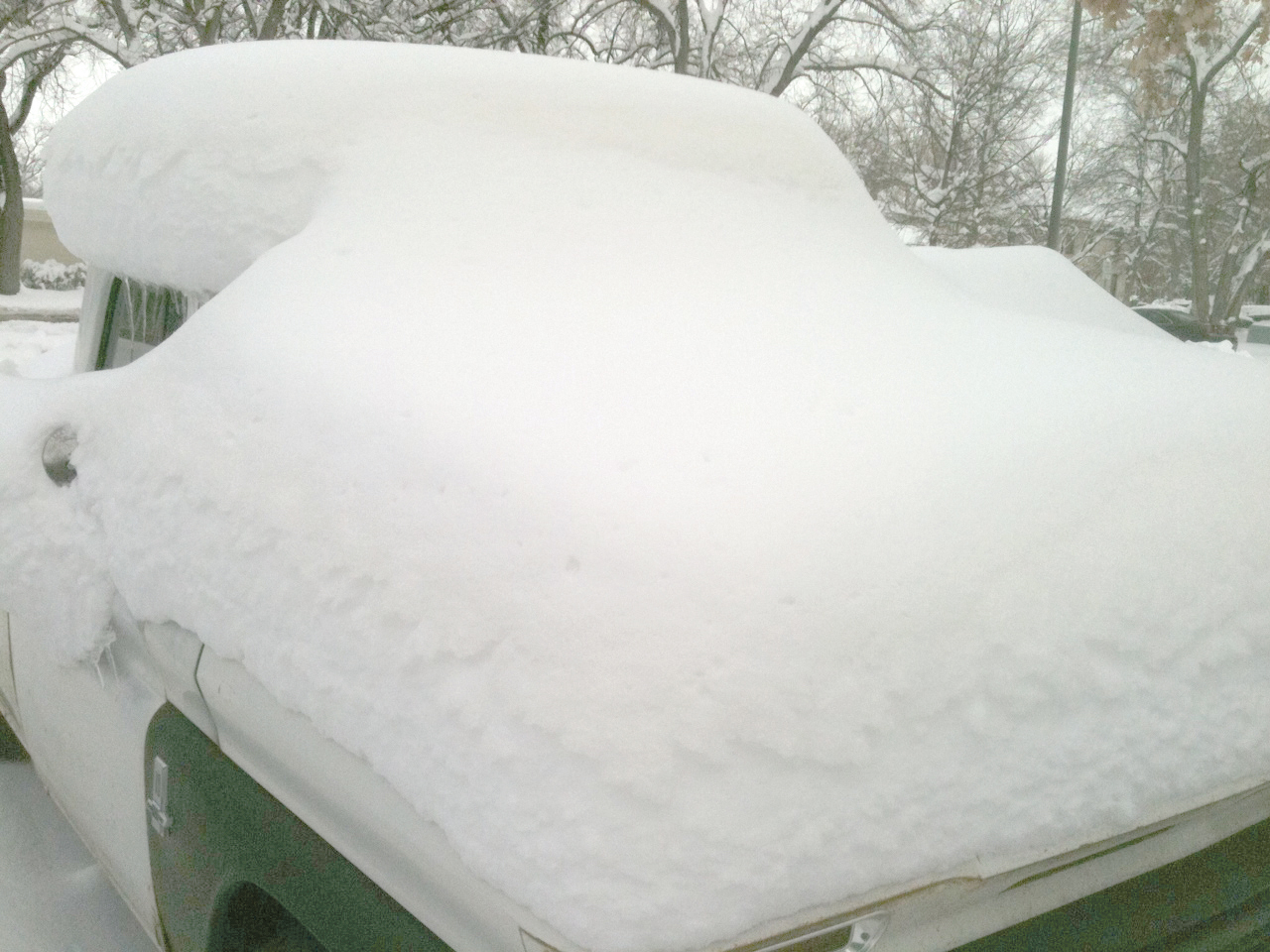
The National Weather Service has issued a Hazardous Weather Outlook for elevations in Larimer County above 9,000 feet. Up to 6 inches of snow is expected.
Hazardous Weather Outlook
National Weather Service Denver/Boulder CO
1107 AM MST Mon Nov 6 2017

COZ030>051-071815-
Jackson County Below 9000 Feet-
West Jackson and West Grand Counties Above 9000 Feet-
Grand and Summit Counties Below 9000 Feet-
South and East Jackson/Larimer/North and Northeast Grand/
Northwest Boulder Counties Above 9000 Feet-
South and Southeast Grand/West Central and Southwest Boulder/
Gilpin/Clear Creek/Summit/North and West Park Counties Above
9000 Feet-Larimer and Boulder Counties Between 6000 and 9000 Feet-
Jefferson and West Douglas Counties Above 6000 Feet/Gilpin/Clear
Creek/Northeast Park Counties Below 9000 Feet-
Central and Southeast Park County-
Larimer County Below 6000 Feet/Northwest Weld County-
Boulder And Jefferson Counties Below 6000 Feet/West Broomfield
County-
North Douglas County Below 6000 Feet/Denver/West Adams and
Arapahoe Counties/East Broomfield County-
Elbert/Central and East Douglas Counties Above 6000 Feet-
Northeast Weld County-Central and South Weld County-Morgan County-
Central and East Adams and Arapahoe Counties-
North and Northeast Elbert County Below 6000 Feet/North Lincoln
County-
Southeast Elbert County Below 6000 Feet/South Lincoln County-
Logan County-Washington County-Sedgwick County-Phillips County-
1107 AM MST Mon Nov 6 2017

This hazardous weather outlook is for northeast and north central
Colorado.

.DAY ONE...This Afternoon and Tonight

Light snow will continue across west facing slopes in the
mountains north of Interstate 70. Tonight, snow will increase
across the area with periods of moderate snow in the mountains.
The Plains will also see snow later this evening and into
Tuesday, with 1 to 4 inches possible overnight. The mountains
could see an additional 4-6 inches tonight, including the
Interstate 70 corridor. In addition to the snow, areas of freezing
drizzle will be possible with the best chance being over the
eastern plains and south of I-70. With cold road surfaces
expected, there is a good chance of slick roads for the Tuesday
morning commute.

.DAYS TWO THROUGH SEVEN...Tuesday through Sunday

Light snow and areas of freezing drizzle are likely across much
of the forecast area Tuesday into Tuesday evening. Some light snow
will linger over the high mountains all of Tuesday night.
Snowfall accumulations are not expected to be significant with
this system. Dry weather is expected Wednesday through the end of
next weekend, with just a few light snow showers over the high
mountains Friday afternoon through Saturday. Temperatures will be
below seasonal normals on Tuesday, then warm up and stay right
near normal readings Wednesday through Sunday.