

by Blaine Howerton | NorthFortyNews.com
Dr. Rick Turley’s LightHawk flights help local leaders see environmental impacts from above
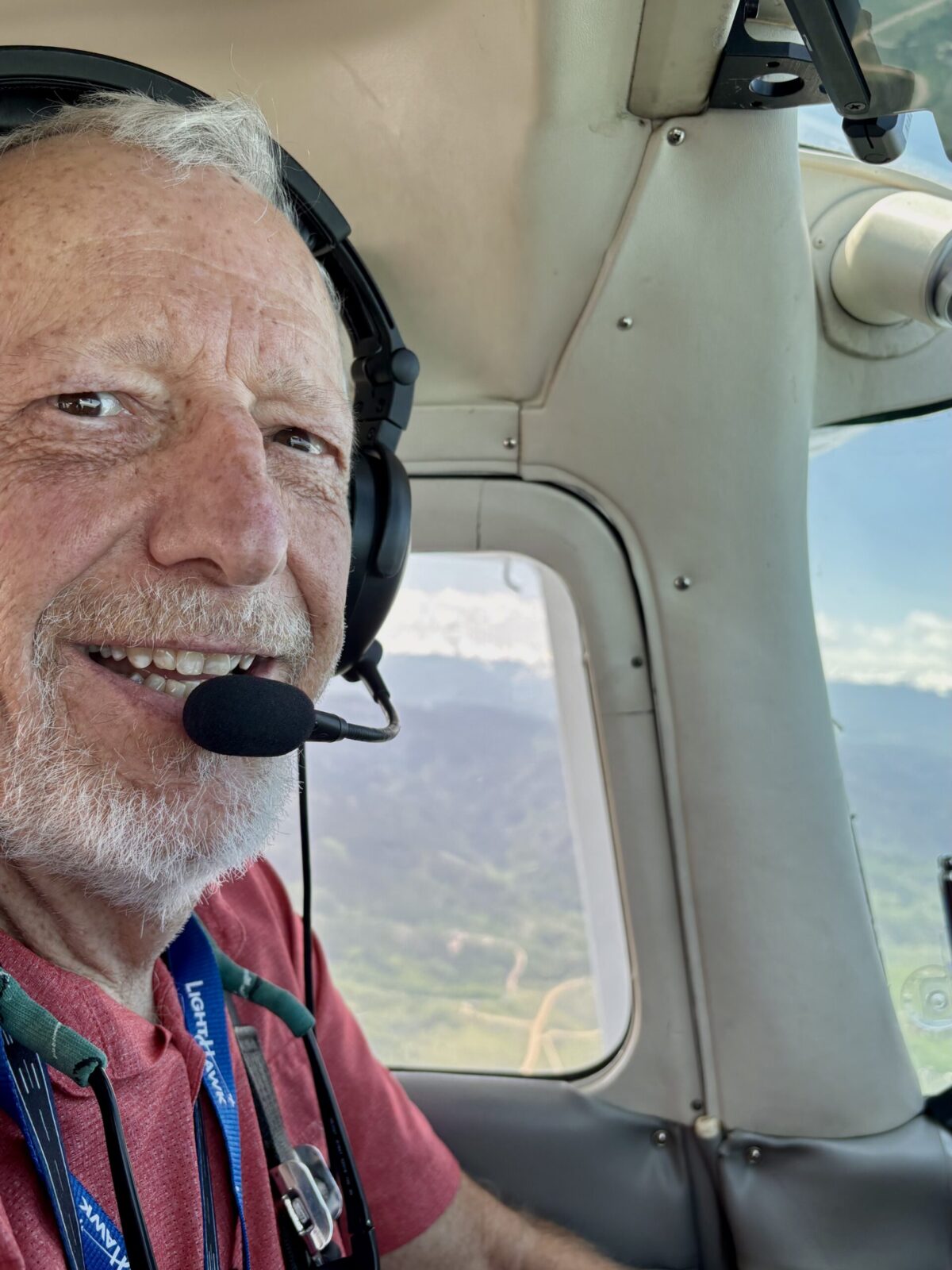
LAPORTE, CO — For more than four decades, Dr. Rick Turley has called Northern Colorado home. A longtime resident of the foothills west of Horsetooth Reservoir, the retired Hewlett-Packard executive, CSU professor, and pilot now dedicates his time to environmental conservation—one flight at a time.
Dr. Turley volunteers with LightHawk, a nonprofit organization that utilizes aviation to support conservation efforts across the West. With more than 1,000 flight hours under his belt, Turley’s missions connect decision-makers with the aerial insights needed to understand Colorado’s most pressing environmental issues, including water scarcity and wildfire recovery.

“One of the key lessons from these flights is adaptability,” Turley said, reflecting on a recent mission tied to the 2025 Conference on the Colorado hosted by the University of Colorado-Boulder. The event brought together tribal leaders, water policy experts, and journalists for a first-hand look at Colorado’s water infrastructure—from Chimney Hollow and Carter Lake to the headwaters of the Colorado River.
When weather disrupted the planned route, Turley improvised, offering an expanded view of Front Range reservoirs and water projects, including Horsetooth and the proposed Glade Reservoir. Among his passengers were a CU law student, KUNC’s Colorado River Basin reporter Alex Hager, and members of the Mirage podcast team documenting the crisis facing the Colorado River.

From the sky, the signs of climate stress are clear: fire scars, shrinking reservoirs, and altered landscapes tell the story of an evolving environment. Turley’s flights offer a vantage point that spreadsheets and satellite maps cannot match.
Turley has flown eight LightHawk missions in the last year alone. His work spans from helping entomologists and biologists map at-risk habitats to guiding wildfire resilience leaders over burn zones from Cameron Peak to Aspen. “Every participant I’ve flown has had an amazing story to tell,” he shared.
Whether flying podcast hosts, middle school STEM students, or national policymakers, Turley sees aviation as a powerful teaching tool. “Flying with LightHawk is a fantastic way to share your passions for flying and environmental impact,” he said.
LightHawk’s operations rely on volunteers like Turley—who donate both time and aircraft—to make these missions possible. “It’s only because the impact is so apparent and so appreciated that pilots continue providing this service,” he added.
To learn more about LightHawk and how aerial missions inform conservation, visit lighthawk.org.
Content provided in part by Dr. Rick Turley and LightHawk.org.