

The snow is slowing down as people in Northern Colorado dust off the snow shovels and put them to use! The National Weather Service has downgraded a Winter Weather Advisory for Northern Colorado and other Front Range Metro areas. So, it’s slowing down.
US 287 was reported as closed Thursday night from Ted’s Place to the Wyoming border, according to the Colorado Department of Transportation. The highway is now open. Watch for plows and take it slow!
Fort Collins
Expect clouds for the rest of today and tomorrow. It will warm up a little on Sunday with a high of 40. By Wednesday, expect highs in the mid-40s. Over the past 24 hours, 2.5″ of snow was reported near Fort Collins High School in Fort Collins. However, Old Town Square appeared to have a smaller amount of snow as of 11:44 am on November 24.

Poudre Canyon & Rist Canyon

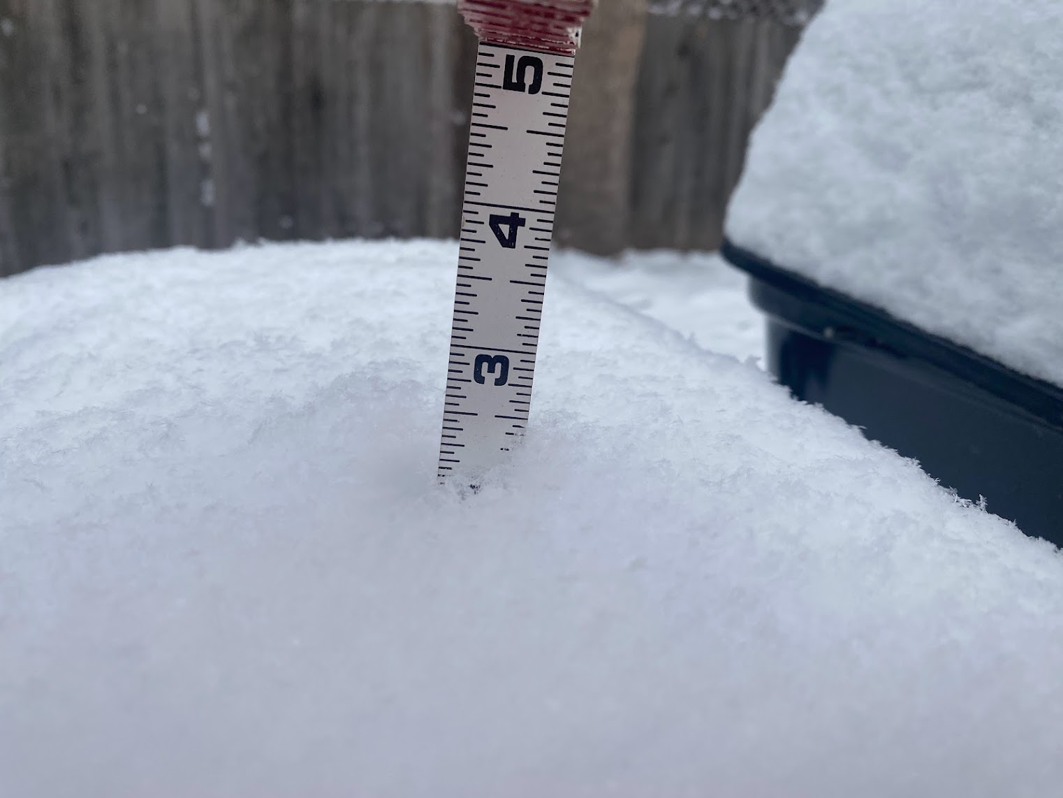
Red Feather Lakes
It’s snowing. Roads are snow-packed and Icy. The current temperature is 15 degrees. Less than an inch of snow was reported by noon on November 24, but more fell overnight on November 23. More snow is expected through the weekend.

Wellington
Currently, snow showers are reported with a temperature of 19 degrees. There is a 37% chance of more precipitation, with snow ending by 1 pm, but more expected later. The low in Wellington is predicted at 7 degrees overnight.
Timnath
It’s snowing in Timnath, and similarly to Wellington, the current temperature is 18 degrees. Expect a high of 28 degrees tomorrow with a few flurries or snow showers.
Greeley
At 10:30 am meteorologist Kody Wilson (@kodythewxguy) reported 3.1″ of snow in Greeley. By 12:40 pm it was 20 degrees with winds out of the North at 5 miles per hour. The high is expected by 28 degrees tomorrow, with a few flurries or snow showers possible. The weekly high is expected to be 48 degrees by Tuesday.
Snow continues to fall here in Greeley. 3.1” and counting! #COwx #Snow pic.twitter.com/LYXaz3Vlfx
— Meteorologist Kody Wilson (@kodythewxguy) November 24, 2023
Loveland
Of all our Northern Colorado reports, Loveland and Wellington were the warmest at 19 degrees. But it only feels like 7 degrees in Loveland! That’s because the wind in Loveland is cold at 11 miles per hour (out of the North). Conditions were reported the same in Berthoud.
