

Winter Storm Watch issued for mountain areas; significant snowfall and travel disruptions expected
by Blaine Howerton | NorthFortyNews.com
A storm system moving through Northern Colorado is expected to bring heavy snow to the higher elevations from Monday afternoon through Tuesday night. According to the latest forecast from the National Weather Service in Boulder, the brunt of the storm will hit Tuesday into the evening, with snow tapering off sometime Wednesday.
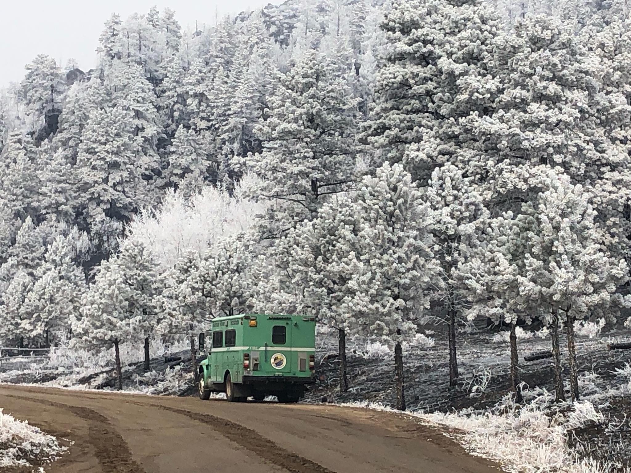
The National Weather Service has issued a Winter Storm Watch for elevations above 9,000 feet, including Rocky Mountain National Park, the Medicine Bow Range, and the Indian Peaks. Forecasts predict heavy snow accumulations ranging from 12 to 22 inches, particularly on the crest and eastern slopes of the Front Range.
Travelers should anticipate hazardous conditions on major routes, including I-70 east of the Eisenhower Tunnel, US 40 over Berthoud Pass, and Highway 14 near Cameron Pass. The storm is expected to impact Tuesday morning and evening commutes significantly.
While some snowfall may begin as early as Monday evening, the most intense precipitation is anticipated on Tuesday and Tuesday night. Residents and visitors in the affected areas are advised to prepare for challenging travel conditions and potential road closures.
The watch includes areas west of Estes Park, the Buckhorn Canyon, Red Feather Lakes’ higher elevations, and parts of the Poudre Canyon.
Even foothill communities above 8,000 feet—like parts of Drake, Glen Haven, and Stove Prairie—may see 6 to 12 inches, while light accumulation is possible as low as 7,000 feet. If you’re in the hills or planning to travel through mountain roads, be prepared for slick conditions, reduced visibility, and possible road closures.
These late-season storms are a powerful reminder of the variability of Colorado’s spring and the resilience of our rural and mountain communities. Many residents, especially in more remote areas, rely on advance notice to stock up on supplies, prep generators, and communicate with neighbors.
Stay weather-aware and help your neighbors by sharing updates. For official forecasts and alerts, visit weather.gov/bou.