

by Blaine Howerton | NorthFortyNews.com
If you’ve been enjoying the mild, dry stretch along the Front Range, get ready for an authentic taste of winter this weekend. A cold front will slide through Northern Colorado late Friday, bringing colder air, a light snowfall, and several days of below-freezing nights.
According to the National Weather Service in Denver/Boulder, Fort Collins tops out near the mid-50s on Friday under partly sunny skies before rain and snow showers move in late Friday night, with lows dropping into the low 20s
By early Saturday, that front will have pushed through. NOAA is calling for a slight chance of light snow early in the morning, then mostly sunny but brisk, with highs only in the mid-30s and gusty north winds before they ease and turn southeast later in the day. Roads may be slick early, especially in shaded spots and on bridges, so plan a little extra time if you’re heading to local events or up toward the foothills.
Saturday night looks cold and quiet, with increasing clouds and lows near 10 degrees in town. By Sunday, another wave of moisture brushes the area: the National Weather Service points to a 30% chance of snow after late morning, with highs stuck near the upper 20s and continued cloud cover. Light accumulation is possible, especially on grassy and elevated surfaces, but at this point, it looks more like nuisance snow than a significant storm for lower elevations.
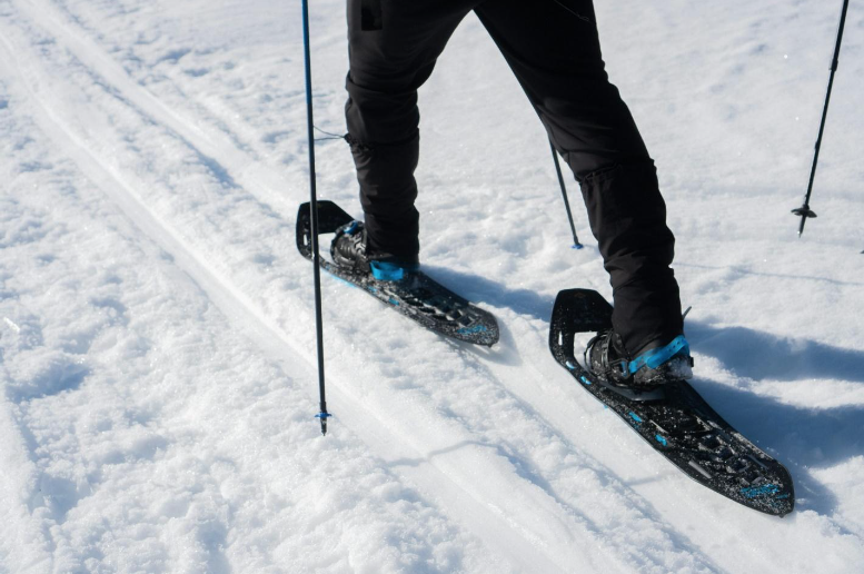
Up in the higher country around Red Feather Lakes and the northern mountains, temperatures will be even colder, with a better chance of pockets of snow and some icy stretches on mountain roads. If you’re cutting a Christmas tree, snowshoeing, or just going for a scenic drive, keep an eye on updated forecasts and road reports.
Colorado State University’s Colorado Climate Center and campus weather tools continue to show this pattern of colder-than-average daytime highs, overnight radiational cooling, and only light liquid-equivalent precipitation with this system — more about reinforcing the winter feel than soaking the region.
Bottom line: Friday is your mildest, driest day to get errands done or enjoy outdoor events without fighting the cold. Saturday brings sunshine but classic “chilled to the bone” air, and Sunday adds in another chance for light snow and continued cold. Bundle up, watch for slick spots, and check back with North Forty News throughout the weekend for updates, photos, and coverage of how this early-winter pattern is playing out across Northern Colorado.