

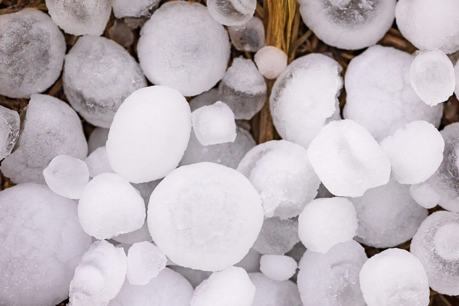
New technology could give Northern Colorado residents hours or days of warning before destructive hailstorms.
By North Forty News Staff | NorthFortyNews.com
Researchers at Colorado State University are developing an artificial intelligence-powered forecasting system that could give Northern Colorado communities significantly more time to prepare for destructive hailstorms.
The National Science Foundation-funded project combines advanced radar technology, machine learning, and historical weather data to improve predictions of when and where damaging hail may strike.
For homeowners, farmers and businesses across the Front Range, the research could eventually mean the difference between having minutes to react and having hours—or even days—to prepare.
Improving Warnings Before Hail Strikes
Traditional hail forecasting often provides only 30 to 60 minutes of warning. CSU researchers hope to extend that window by combining two different artificial intelligence systems.
One system, developed through a collaboration with NVIDIA, focuses on predicting how storms will develop over the next two to three hours. Another CSU model evaluates atmospheric conditions to estimate severe weather risks up to eight days ahead.
“We are working with AI to combine regional data from our radar systems with nine years of historic weather observations from across the whole U.S. to make a new forecasting tool,” said Kristen Rasmussen, an associate professor of atmospheric science at CSU.
Rasmussen emphasized that the technology remains under development, but CSU’s extensive experience with radar and severe weather research provides a strong foundation.

Why Better Hail Forecasting Matters in Colorado
Colorado is among the nation’s most hail-prone states, with storms regularly causing extensive damage to roofs, vehicles, agricultural operations, and commercial properties.
Hail damage has also become a major contributor to rising homeowners insurance premiums statewide.
Researchers say the timing and intensity of damaging storms are changing, creating additional challenges for forecasters and insurers.
“The window of these big hail events is expanding earlier into spring and later into fall. At the same time, we are seeing an increase in both intensity and frequency,” Rasmussen said.
The potential benefits of improved forecasting extend beyond property protection. Earlier warnings could help event organizers, emergency managers, agricultural producers and residents make safer decisions before severe weather arrives.
Rasmussen recalled a June 2023 hailstorm at Red Rocks Amphitheater near Morrison that injured nearly 100 people when golf-ball-sized hail struck the venue.
The incident illustrates the consequences of storms developing faster than communities can respond.
Combining AI With Colorado’s Radar Network
CSU University Distinguished Professor V. “Chandra” Chandrasekar is leading the short-term forecasting component, building on research conducted with NVIDIA.
His team developed Hail-StormScope, a specialized artificial intelligence model based on NVIDIA’s Earth-2 StormScope technology.
The system analyzes high-resolution radar observations to forecast storm development and potential hail impacts.
Unlike traditional forecasting methods that require meteorologists to combine information from multiple sources, the AI system can rapidly process different radar measurements, satellite observations, and weather prediction models.

Meanwhile, CSU atmospheric science professor Russ Schumacher is leading the longer-range forecasting component.
His Colorado State University-Machine Learning Probabilities model examines nine years of historical severe weather data and identifies atmospheric conditions associated with destructive storms.
The challenge is determining how best to combine the two approaches.
“Our existing system is largely trying to assess the chance that severe hail will occur – which is a yes or no decision – whereas the NVIDIA model is trying to predict the full evolution of the storms,” Schumacher said.
Researchers are evaluating whether to integrate the models into a single forecasting system or provide their predictions together to help meteorologists make better decisions.
Greeley-Area Radar Will Help Test New Technology
Northern Colorado will play a central role in the project’s next phase.
Beginning in spring 2027, researchers plan to install advanced Vaisala RM60 precipitation sensors near CSU’s CHIVO radar facility outside Greeley.
The instruments will measure precipitation intensity, accumulation, type, and drop size, allowing researchers to compare AI-generated predictions against actual weather conditions.
That information will help scientists determine how accurately the system predicts hail formation and storm intensity.

According to Rasmussen, the team has already developed models with a spatial resolution of approximately 1.3 kilometers, or slightly less than one mile.
That level of detail could be particularly valuable in Colorado, where mountains and rapidly changing terrain complicate severe weather forecasting.
Research Could Benefit Communities Beyond Colorado
The project is supported through the Advanced Sensing and Computation for Environmental Decision-making (ASCEND) Engine, a regional initiative serving Colorado and Wyoming.
Launched in 2023, ASCEND brings together universities, federal laboratories, businesses, and other partners to develop technologies that address environmental and weather-related challenges. The initiative has a potential 10-year federal award of up to $160 million.
Although the initial focus is Colorado and Wyoming, researchers say they could eventually adapt the forecasting technology for other regions.
The system is not yet an operational replacement for existing weather warnings. Researchers must continue testing its accuracy, integrating different forecasting approaches and validating predictions against real storms.
For Northern Colorado, however, the work represents a promising step toward more precise warnings in a region where hailstorms can develop quickly and cause millions of dollars in damage.